Monday, August 7, 2017

Glacier Park Boat Company

It was another nice day at Glacier, so we decided to take a boat ride on the glacier fed St. Mary Lake.  Tomorrow we leave Glacier National Park and head to Banff National Park in Canada. We figure that taking the camper through Canadian customs might be interesting, although most people say that getting back into the US with a camper is more of a hassle.   The other unknown is forest fires.  We have been told that many of the forests in Canada are on fire. It appears that a big forest fire will be southwest of our campground at Banff.  We are hoping that it will be under control by the time we arrive.

The "Jill II" was the boat we took on our scenic boat ride
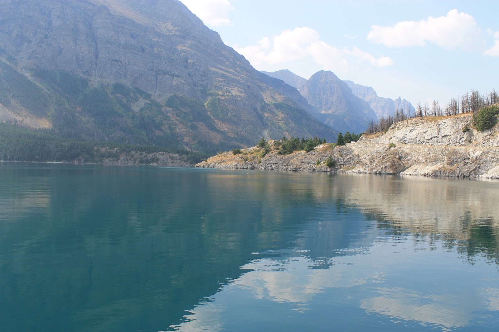
The water is a turquoise color from rock flour.  Rock flour consists of fine-grained, particles of rock, generated by mechanical grinding of bedrock by glaciers.  Because the material is very small, it becomes suspended in the lake making the water appear turquoise in color.
The mountain in front of us is the "Going to the Sun" mountain.  The top of the mountain is one mile above the elevation of the lake. It is awesome to see in person.
More mountains ahead of us.
Along the way we stopped at Baring Falls. It is a small waterfall that drops roughly 25 feet.
We saw a moose in the lake; however, we couldn't get very close to him because of shallow waters.

Sunday, August 6, 2017

Spraque Creek Picnic

Today was just about perfect.  Blue skies with white puffy clouds.  The high temp reached 82 degrees, so we decided to go on a picnic.  We left the campground on the east side of the mountains and traveled the "Going to the Sun" road till we came to the Spraque Creek Picnic area near West Glacier.  The picnic area was on the beach of McDonald Lake.  The lake has crystal clear water, but the water is a little chilly.  We had a great day hanging out at the beach, taking short dips in the lake and eating a picnic lunch (including a delicious bologna sandwich).

McDonald Lake

McDonald Lake

Saturday, August 5, 2017

Two Medicine

We visited "Two Medicine" today which is a region located in the southeastern section of Glacier National Park.  From the period starting in the late 1890s until the completion of the "Going to the Sun" Road in 1932, Two Medicine was one of the most visited sections of the park.  Today the area is not a major tourist area, but it does have some excellent views and trails.

Driving to the Two Medicine Region
View Looking at the Lower Two Medicine Lake

Upper Two Medicine Lake


Another view of  the Upper Two Medicine Lake

Friday, August 4, 2017

Our Neighbors to the North

We drove north today to visit Waterton Lakes National Park.  It is a national park located in the southwest corner of Alberta, Canada and borders Glacier National Park.  Waterton was Canada's fourth national park, formed in 1895.  Most of the park is rugged mountains, grassy fields and lakes. As we were driving through the park we saw a black bear feeding in a field about 50 ft from the road. A ranger was there and wouldn't let anybody stop to get a picture.  The clouds were pretty low again today, so not many good pictures.


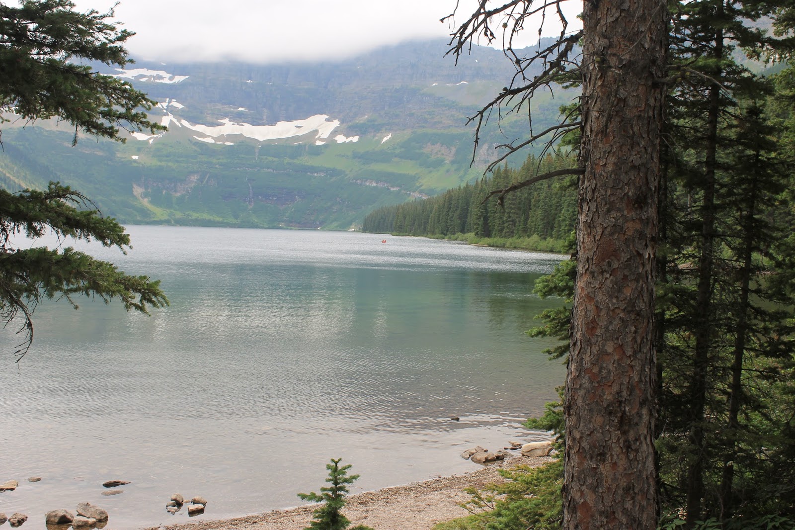
Cameron Lake
The Historic Prince of Wales Hotel National Historic Site

Huckleberries were ripe and the bears were very active eating them in the park.  Several trails were closed because of the bears in the fields of huckleberries.
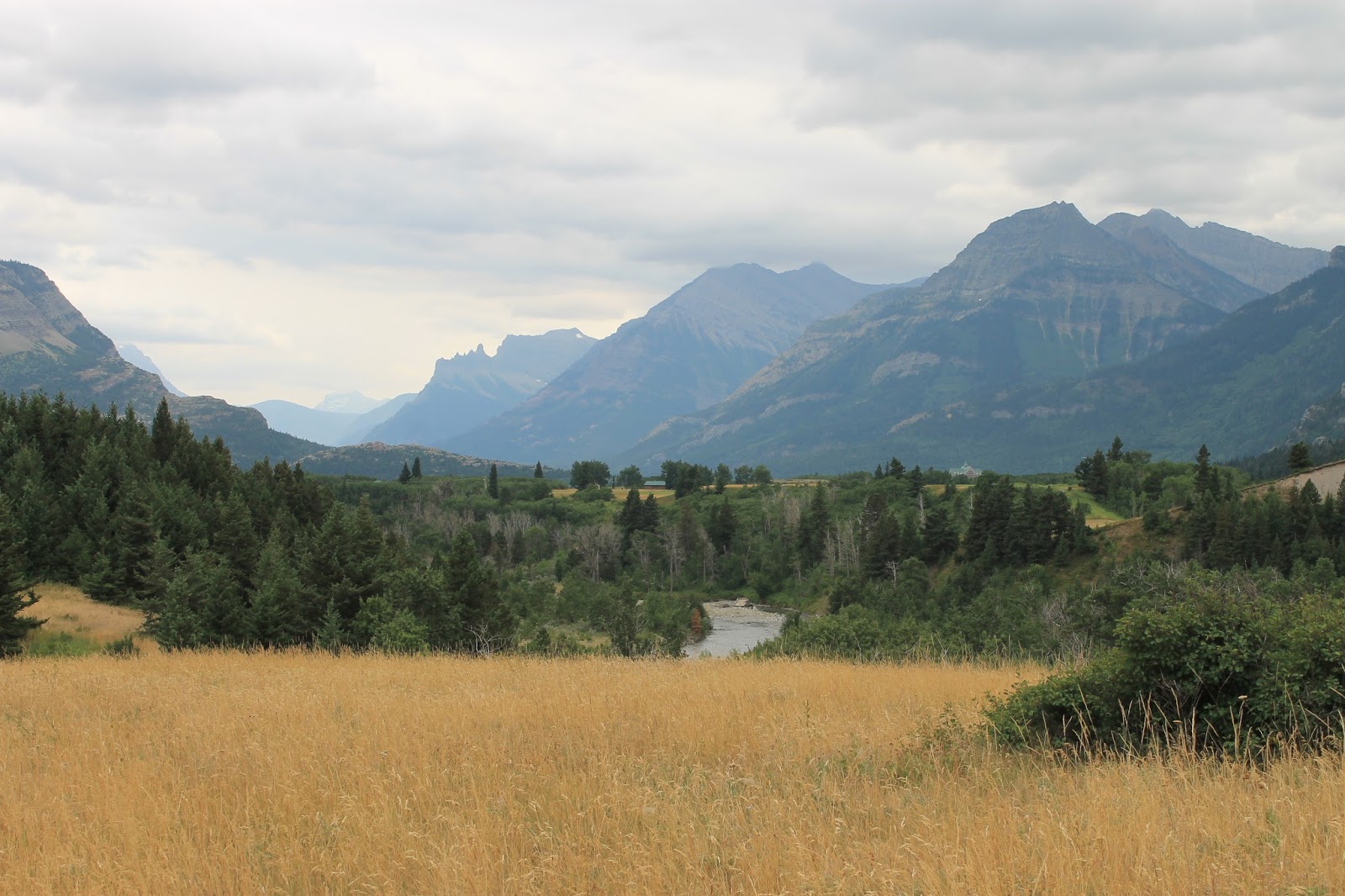
The park has many grassy fields with rugged mountains in the background

Thursday, August 3, 2017

Going to the Sun

Today we drove the "Going to the Sun" road.  The road was completed in 1932 and is a spectacular 50 mile, paved two-lane highway that spans the width of Glacier National Park, crossing the Continental Divide at the 6,646-foot-high Logan Pass. It has a 21 ft. restriction for vehicle length, and my truck measures 20ft, 6 inches in length.  It also has a 8 ft. width restriction.  I had to fold in both of my side view mirrors.  It is on the list as a National Historic Civil Engineering Landmark and I can see why.  It is amazing that they could build a road over the mountain in 1932.


From the Shore of St. Mary Lake
Overlooking St. Mary Lake
Traveling the Going to the Sun Road
Mountains and Valleys
Overlooking the McDonald Creek

McDonald Creek. The color of the water from the Glaciers almost looks like the Caribbean 
Mountain Flowers
Big Horn sheep walking on the snow

Wednesday, August 2, 2017

Low Clouds

We didn't have a good day to sightsee.  The clouds were very low all day.  We couldn't see the mountains.  They are predicting much better weather tomorrow.


Tuesday, August 1, 2017

Goodbye Yellowstone; Hello Glacier

We left Yellowstone this morning and headed towards Glacier National Park.  RoxAnne is the navigator when we travel and decided to take us across route 287.  The scenery was amazing.  We first encountered Hebgen lake.  The lake is approximately fifteen miles long and four miles wide with mountains in the background.  In 1959 Hebgen Lake had an earthquake that measured 7.5 on the Richter scale.  It caused a huge landslide that caused 28 fatalities.  The slide blocked the flow of the Madison River resulting in the creation of the adjacent Quake Lake.  You can see the landslide as you travel route 287.  The quake was so strong that it affected the eruption times of the Old Faithful Geyser in Yellowstone.

Hebgan Lake (Note: This pic is from the Internet)
It took us about 8 hours to reach Glacier National Park.  By the time we checked in to the campground and set up our camper, we didn't feel like exploring the area.  We'll be here for a week, so there will be plenty of time to explore later.  I did take a few pictures from the campground.

A picture of the mountains of Glacier National Park from our campground